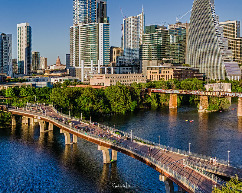
An aerial view of the Pfluger Pedestrian Bridge in downtown Austin. Spanning 700 feet over Lady Bird Lake, a reservoir of the Colorado River, the bridge connects the north and south routes of the Ann and Roy Butler Hike and Bike Trail.
The layout of the bridge deck—dotted with benches, planters, and lampposts—provides plentiful options for trail users to take in the beautiful view of the city skyline. Completed in 2001, the bridge is named after James D. Pfluger, a local architect who designed the trails surrounding Lady Bird Lake.
Running parallel to the pedestrian bridge is the Colorado River Bridge, a.k.a. Austin Graffiti Railroad Bridge. The large sail shaped building seen rising behind it is Block 185, soon be Google's new Austin office.
Lastly, in the distance is the dome of the Texas State Capitol as seen through one of the Capitol View Corridors. The corridors protect the capitol's visibility from a series of points around Austin.
Austin is the 10th largest city in the United States, and the fourth largest city in the State of Texas.
Loading contexts...
