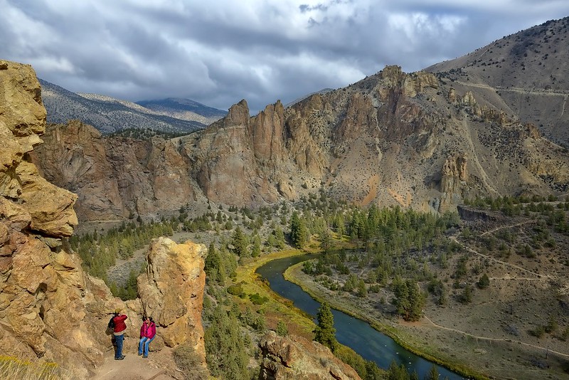
A couple fellow hikers pause to catch their breath and take in some of the beauty that is Smith Rock while hiking the Misery Trail (steep but not all that long: good thing).
"This landscape of rock spires, cliffs, and canyonlands lies along the northern edge of the Crooked River caldera, a 26-mile long, 17-mile wide volcanic depression formed through a series of super-volcanic eruptions between 29.7 and 27.5 million years ago. Eruptions from the Crooked River caldera deposited massive volumes (>140 cubic miles) of tuff and rhyolitic lavas, dikes, and domes. All of these volcanic features are now well exposed in the rock walls of Smith Rock State Park.
Approximately 400,000 years ago, more recent lava flows erupted from Newberry Volcano, twenty-five miles south of present-day Bend, and flowed north, largely covering the caldera-filling tuff and diverting the Crooked River up against Smith Rock. Both older and younger rocks at Smith Rock State Park have been deeply eroded, sculpted, and incised by the modern-day Crooked River."
oregonencyclopedia.com
A fascinating geological wonder!
Thanks for the visit. Always appreciated!
Have a wonderful week!
Loading contexts...